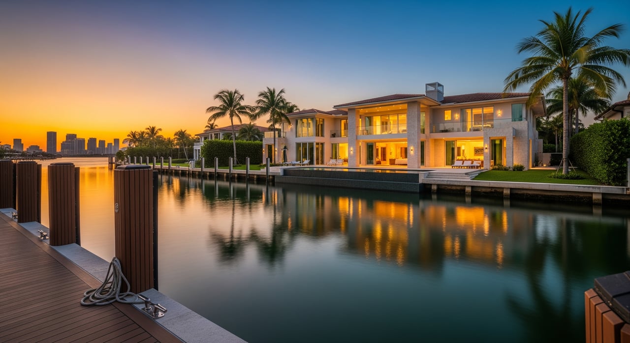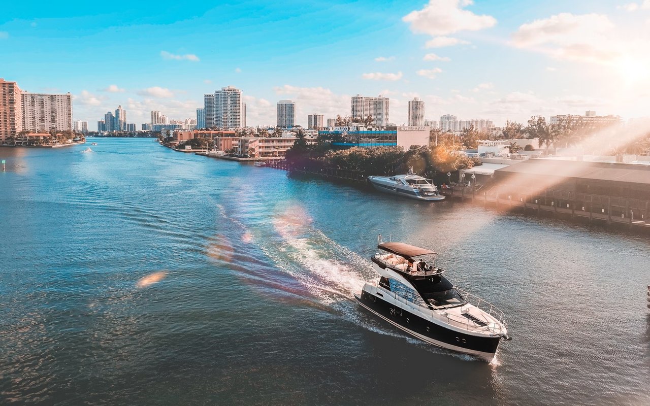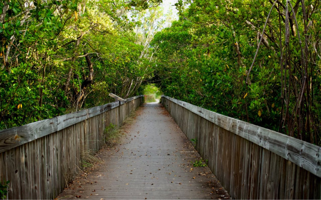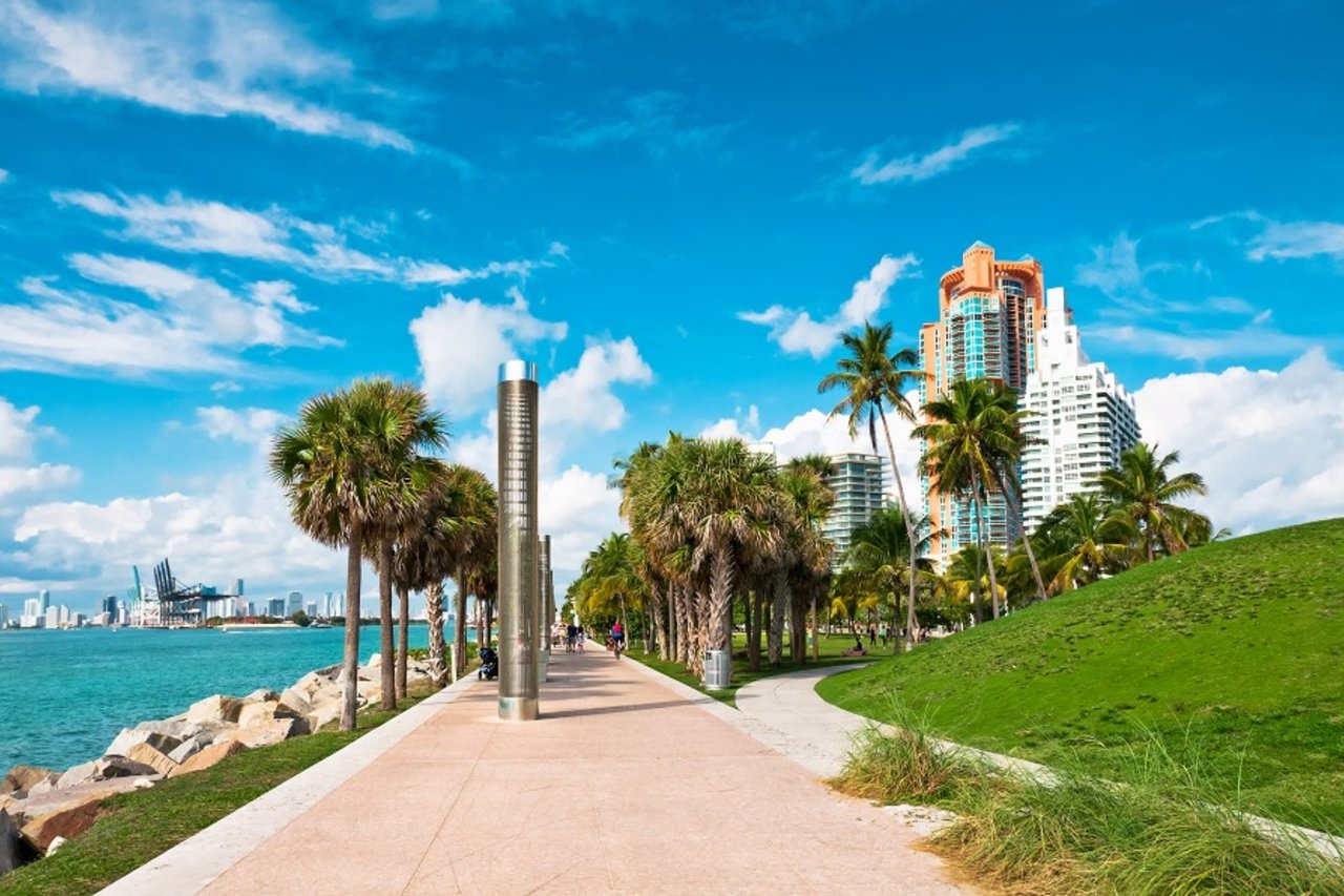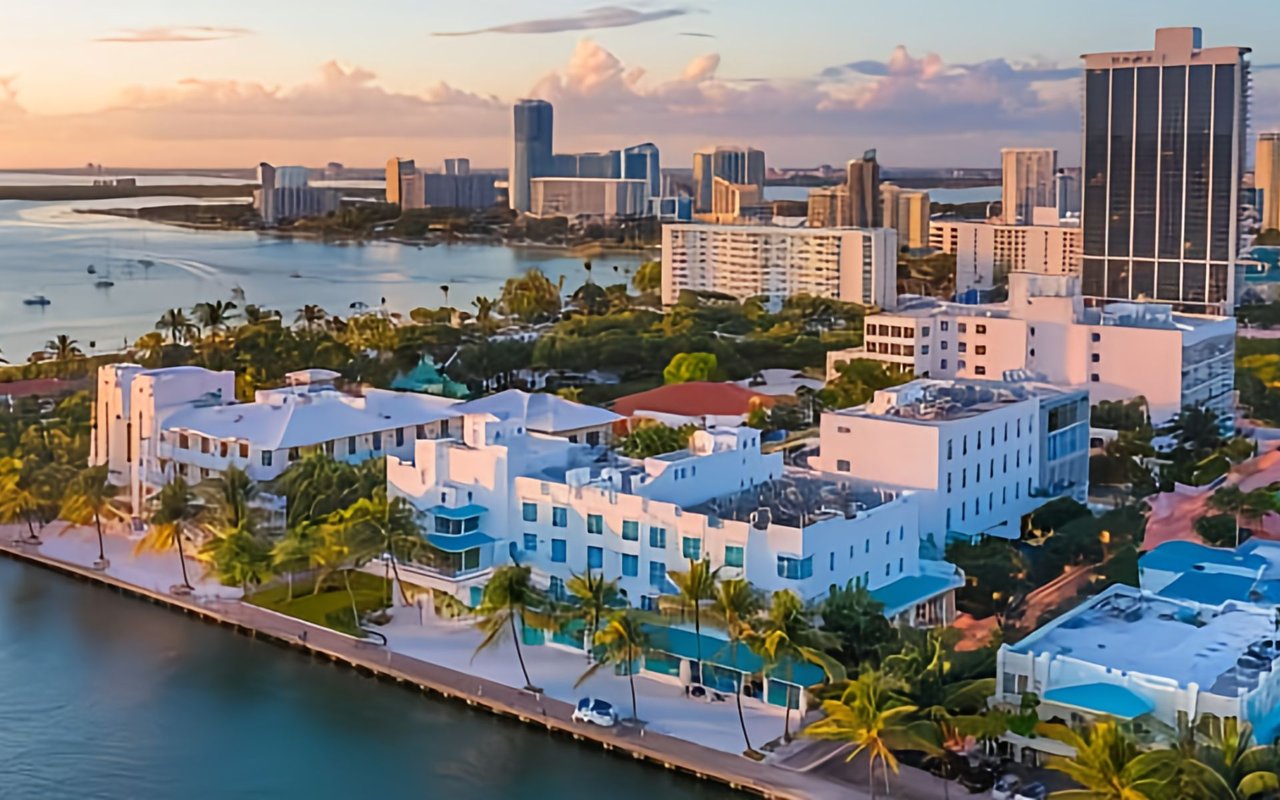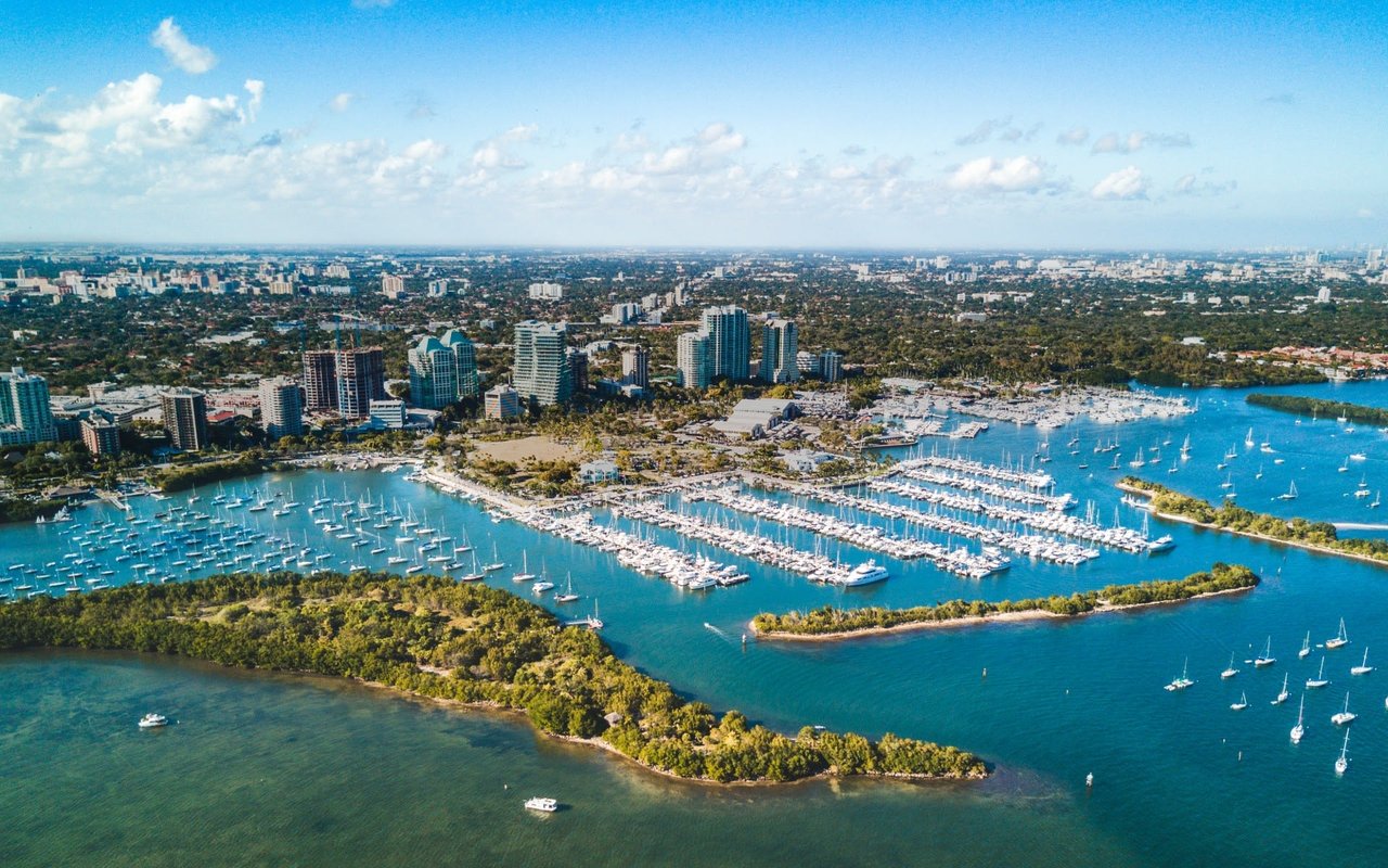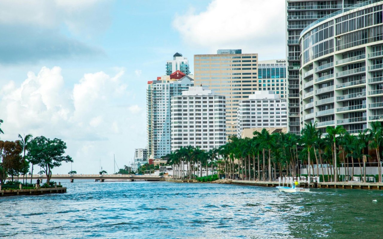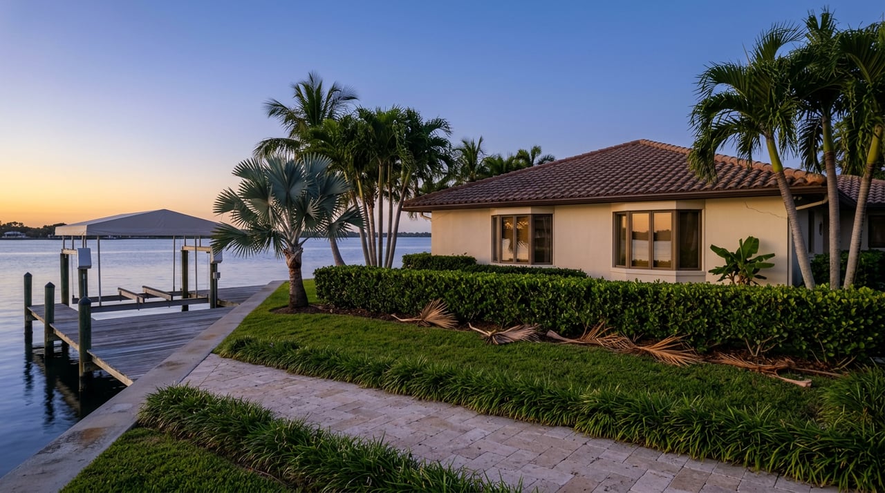
The evening walk across the Venetian Islands feels different this September. The staging equipment that has crowded the shoulders near the Di Lido and San Marino spans for the better part of two years is thinning out. Dog walkers are back to using the full width of the sidewalk instead of ducking around barricades. If you live here, you have probably noticed and probably assumed it means the causeway's construction era is winding down.
It is not. What is ending is one project. What comes next is a much bigger one, and it is only now getting its permits in order.
Two Projects, One 2.5-Mile Stretch
It is easy to talk about "the causeway construction" as a single thing, because from a car window it has looked like one continuous disruption since 2023. In fact there are two separate efforts running on the same 2.5-mile span, on different timelines, funded by different agencies, and headed toward very different finish lines.
| Water and Sewer Main Upgrades Phase II | Bridge Replacement Project | |
|---|---|---|
| Who's running it | City of Miami Beach | Miami-Dade DTPW, with FDOT and federal partners |
| What it touches | Aerial water main crossings on the north and south sides of the bridges | 11 of the causeway's 12 bridges |
| Funding | City capital budget | $100.5 million federal Bridge Investment Program grant |
| Status as of September 2026 | In its final stretch, per the city's most recent project update on September 4 | Design phase nearing completion, environmental review still open |
| Target completion | Late summer 2026 | Beyond 2032 |
The confusion is understandable. Both projects share contractors' trucks, both involve the same bridges, and both got their public meetings in the same clubhouse at 1000 Venetian Way. But one of them is closing out. The other is just getting its clock started.
The One That's Actually Wrapping Up
The water and sewer project is the one responsible for most of what residents have lived with directly: the horizontal directional drilling, the equipment staged along the bridge shoulders, the intermittent closures on evening bike routes. It replaces the aerial water main crossings that run along the north and south sides of the Venetian bridges between San Marco Island and Dade Boulevard, work the city ranked first on its list of critical water and sewer assets needing replacement.
The contractor is Quality Enterprises USA, with Hazen & Sawyer and Calvin, Giordano & Associates handling design. Substantial completion was targeted for early summer 2026, with final completion by late summer. As of the city's most recent posted update on September 4, the project was still active, which puts it right at the tail end of that window rather than fully closed out. Practically, that means the disruption you have been navigating is now measured in weeks, not seasons, and the calm you are feeling on your evening loop is real.
The One That Just Started the Clock
The bridge replacement is a different animal entirely, and it has barely begun. This is the project that will eventually replace 11 of the causeway's 12 bridges, including the easternmost movable span, widen each one by 16 feet to accommodate proper bike lanes on a corridor that currently forces cyclists into traffic, and raise the spans to account for sea level rise. The bridges being replaced date to 1926 and 1927. They are listed as historic landmarks by both the City of Miami and the City of Miami Beach, and the new structures are being designed to echo their original look while carrying a 75-year design life.
As of the March 2026 public meeting at the Venetian Way clubhouse, the county's own timeline had final design wrapping by summer 2026, with construction advertisement to follow once permit coordination clears. The federal permitting dashboard currently lists an estimated completion date for environmental review of October 30, 2026. Read the sequence carefully: design finishes, then environmental review clears, then the project goes out to bid. None of that is meaningful in-water construction. That part hasn't started.
Here is the detail that changes how residents should think about all of it. In July 2026, Miami Today reported that Miami-Dade added another $3 million to the project specifically to relocate water and sewer mains on the bridge that links Biscayne and San Marco islands, and that the overall project is now tracking toward a scheduled completion beyond 2032. Beyond 2032 is not a rounding error on a 2024 press release that once floated construction advertisement for "early 2026." It is a full recalibration of how long this corridor stays in its current form.
If you bought a home here expecting the bridges themselves to look different in a year or two, recalibrate. The bridges you cross tonight are, with very high likelihood, the same bridges you will cross for the next several years.
The Walk That Doesn't Wait for Any of This
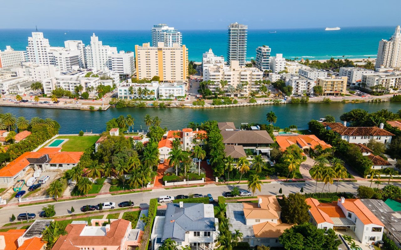
None of that changes what the six islands actually offer day to day, which is worth naming plainly rather than treating as a footnote to a construction timeline. From west to east, the chain runs Biscayne Island, San Marco Island, San Marino Island, Di Lido Island, Rivo Alto Island, and Belle Isle, the only one of the six that started as natural land rather than dredged fill.
Belle Isle carries most of the daily foot traffic, and for good reason. Belle Isle Park sits at its center, redesigned in 2006 by Savino Miller Design Studio around a large elliptical walkway with a dedicated Bark Park at one end, split into separate enclosures for small and large dogs. The Belle Isle Residents Association, formed in December 2004, still meets several times a year with park upkeep and traffic on its standing agenda.
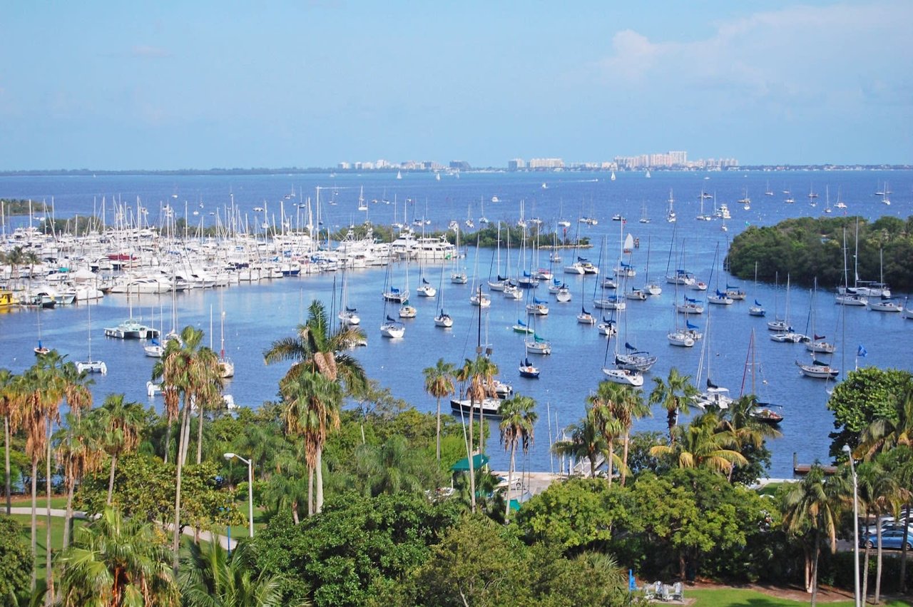
Anyone who prefers to be on the water rather than beside it tends to launch from the public ramp just east of Rivo Alto Island, a low-key entry point for kayaks and paddleboards into water that Florida designated a protected aquatic preserve back in 1974. The causeway itself, with sidewalks running its full length on both sides, carries a fraction of the traffic of the adjacent MacArthur Causeway, which is part of why it has become the default route for runners and cyclists crossing between Miami and the beach.
Belle Isle also carries a layer of history that predates all of it. In the early 1900s, before any of the bridges existed in their current form, the island was known for the Belle Isle Sun-Ray and Health Spa, founded by Dr. Joseph Adams to promote what he called the healing properties of the "Miami Zone." The Standard Spa now occupies that same ground, and its own materials trace a direct line from that early wellness culture to the hydrotherapy circuit and bayfront pool it operates today. It is a small detail, but it is the kind that explains why this particular stretch of causeway has always drawn a slower crowd than the beach a mile away.
What This Means If You Live Here
The relief you are feeling this fall is legitimate. The water main work is closing out, and the staging equipment that has crowded your evening route is coming down. Enjoy it.
What you should not do is treat that relief as a preview of the bridges themselves changing anytime soon. The wider lanes, the added bike infrastructure, and the raised spans are real elements of an approved, federally funded project, but the county's own numbers now put full completion beyond 2032. If your property sits near the Biscayne-San Marco span specifically, expect another localized disruption window tied to the newly funded main relocation there, separate from the broader wrap-up everyone else is noticing.
The walk across the six islands is not waiting on any of this. It has been the same walk, more or less, for a century, through one health spa's rise and fall, the residents association's continued presence, and now two infrastructure projects running on entirely different clocks. That continuity is arguably the actual asset here, more durable than any single construction timeline.
If you are weighing a move to the Venetian Islands, or you already live here and are trying to make sense of what the causeway will look like for the next several years, Mick Duchon can walk you through what the current infrastructure timeline actually means for a specific address, island by island. Book a private consultation to talk through it.